Guidemap to the Blue Ridge Parkway and Surrounding Area: Central Section
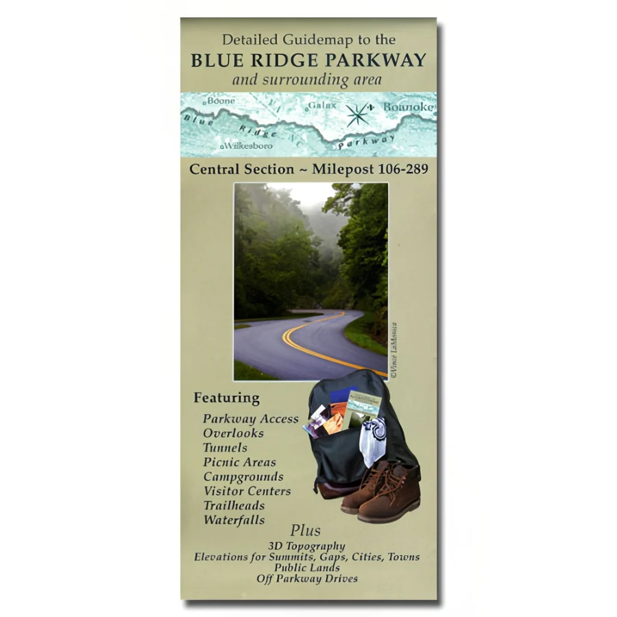
This detailed guidemap to the Blue Ridge Parkway illustrates the central section- from milepost 106 to 289. It features parkway access, overlooks, tunnels, picnic areas, campgrounds, visitor centers, trailheads, and waterfalls. It also shows 3D topography, elevations for summits, gaps, cities, towns, and public lands, as well as off parkway drives.
Guidemap to the Blue Ridge Parkway and Surrounding Area: Central Section
This detailed guidemap to the Blue Ridge Parkway illustrates the central section- from milepost 106 to 289. It features parkway access, overlooks, tunnels, picnic areas, campgrounds, visitor centers, trailheads, and waterfalls. It also shows 3D topography, elevations for summits, gaps, cities, towns, and public lands, as well as off parkway drives.
Product Information
Product Information
Shipping & Returns
Shipping & Returns
Description
This detailed guidemap to the Blue Ridge Parkway illustrates the central section- from milepost 106 to 289. It features parkway access, overlooks, tunnels, picnic areas, campgrounds, visitor centers, trailheads, and waterfalls. It also shows 3D topography, elevations for summits, gaps, cities, towns, and public lands, as well as off parkway drives.